
Private charter · CVG → SOW
Cincinnati to Show Low
1,438 miles. One price for the whole airplane.
Price your flight from Cincinnati to Show Low
The trip
Cincinnati to Show Low, door to door faster.
Trade about 30½ hours on the road for about a short flight in the air. Bluebird flies you direct from Cincinnati Northern Kentucky International Airport in Cincinnati to Show Low Regional Airport in Show Low, 1,438 miles in a private jet with two pilots up front. Need a different size of aircraft? We'll source one sized for the trip. The price is for the whole aircraft, with every fee and tax shown before you book.
- Distance
- 1,438 mi
- Flight
- —
- Driving
- 30½ hours
- Passengers
- Up to 1
Departing Cincinnati
Airports in Cincinnati
CVG
Major airportCincinnati Northern Kentucky International Airport
Cincinnati / Covington · KCVG
- From downtown
- 9 mi
- Longest runway
- 12,001 ft
LUK
Commercial airportCincinnati Municipal Airport Lunken Field
Cincinnati · KLUK
- From downtown
- 5 mi
- Longest runway
- 6,101 ft
HAO
Regional airportButler Co Regional Airport - Hogan Field
Hamilton · KHAO
- From downtown
- 18 mi
- Longest runway
- 5,500 ft
Arriving Show Low
Airports in Show Low
SOW
Commercial airportShow Low Regional Airport
Show Low · KSOW
- From downtown
- 3 mi
- Longest runway
- 7,202 ft
TYZ
Regional airportTaylor Airport
Taylor · KTYL
- From downtown
- 15 mi
- Longest runway
- 7,001 ft
When you land
Things to do in Show Low
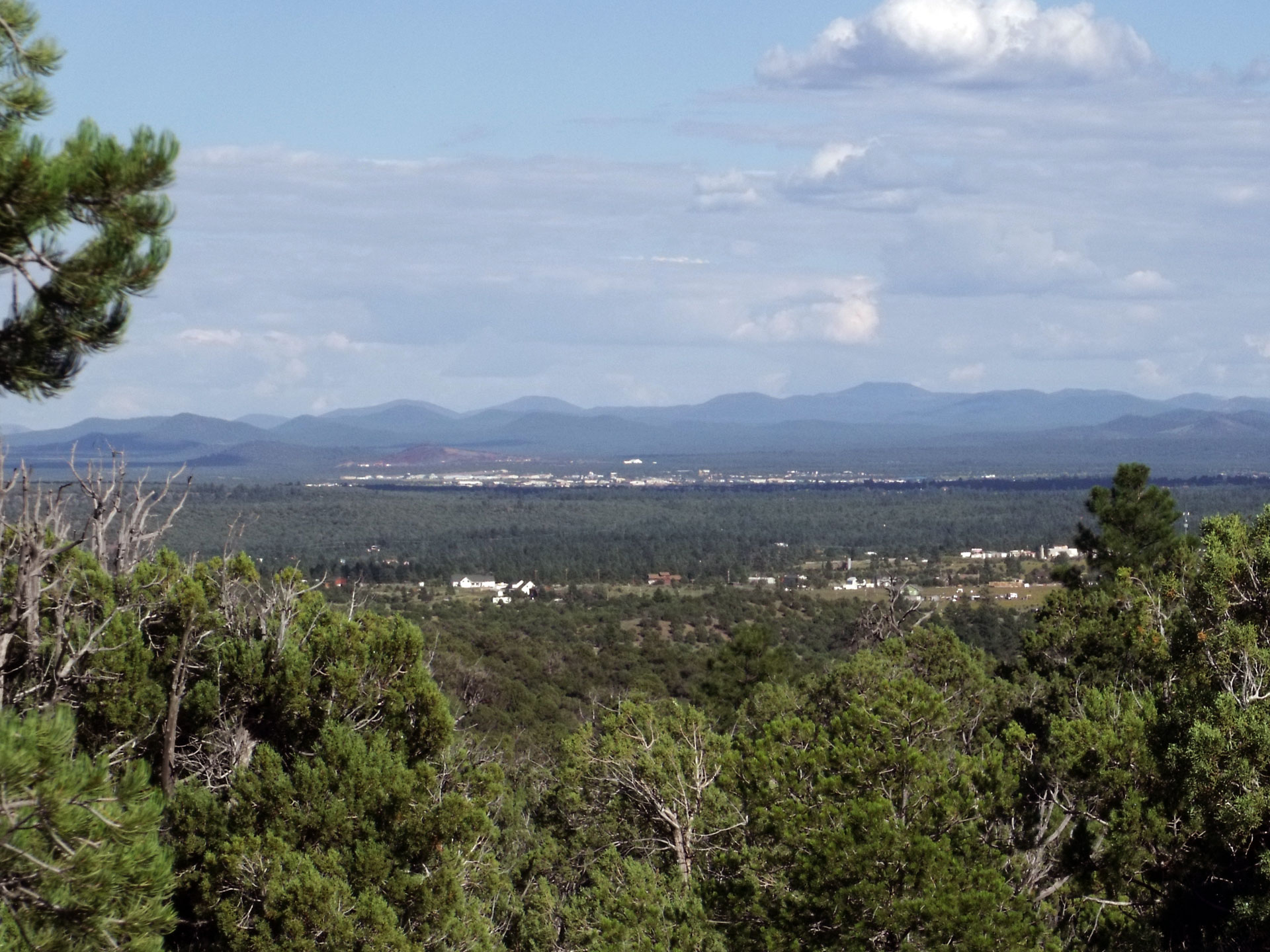
Show Low is the commercial center of Arizona’s White Mountains, a high country of ponderosa pine, meadows and lakes on the Mogollon Rim at roughly 6,300 feet. According to local legend, the town takes its name from a card game in which the low draw won the land, and its main street is still called Deuce of Clubs. Along with neighboring Pinetop-Lakeside, the area is a long-standing summer retreat for Phoenix and Tucson families, and second homes, retirement, tourism and regional healthcare drive the economy. The White Mountain Apache Tribe’s Fort Apache Indian Reservation lies just to the south.
- 01
Fool Hollow Lake Recreation Area
A state park lake on the edge of town surrounded by pines, with trout and bass fishing, boat ramps, picnic areas and campgrounds.
- 02
White Mountain Trail System
An extensive network of trails through the forests around Pinetop-Lakeside and Show Low offers hiking, mountain biking and horseback riding at cool elevations.
- 03
Sunrise Park Resort
Owned and operated by the White Mountain Apache Tribe, Arizona’s largest ski area spreads across several peaks east of town and offers summer lift rides and mountain biking.
- 04
Greer
This tiny mountain village in a meadow along the Little Colorado River, about an hour east, is known for rustic lodges, trout fishing, fall aspens and nearby reservoirs.
- 05
Petrified Forest National Park
About an hour north, the park protects colorful fossilized logs, the banded hills of the Painted Desert and historic sites along old Route 66.
- 06
Salt River Canyon
Southwest of town, U.S. 60 descends switchbacks into a deep, colorful canyon often called Arizona’s mini Grand Canyon, a memorable scenic drive.
Questions
Cincinnati to Show Low flights
How long is a private flight from Cincinnati to Show Low?
About a short flight in a private jet, for 1,438 miles direct. Driving the same trip takes about 30½ hours.
Which airports do flights from Cincinnati to Show Low use?
You can depart from Cincinnati Northern Kentucky International Airport (CVG), Cincinnati Municipal Airport Lunken Field (LUK), or Butler Co Regional Airport - Hogan Field (HAO) and arrive at Show Low Regional Airport (SOW) or Taylor Airport (TYZ). Pick whichever is closest to where you're starting and where you're headed.
How much does a private charter from Cincinnati to Show Low cost?
The price depends on the date, departure time, aircraft and where the airplane is positioned. Enter your trip above to see an instant price for the whole airplane, with every tax and fee included.
Can I book a round trip between Cincinnati and Show Low?
Yes. Choose round trip when you search, and pick your return date and time. Flights from Show Low back to Cincinnati are priced the same way.
Return flight
Show Low to Cincinnati
More flights from Cincinnati
More flights to Show Low
Explore Cincinnati private charter and Show Low private charter, airports and things to do. Arriving at Show Low Regional Airport (SOW).
Cincinnati to Show Low, on your schedule
Choose your departure time and see a price for the whole aircraft. Bring up to 1 passengers for the same price.
Get an instant price